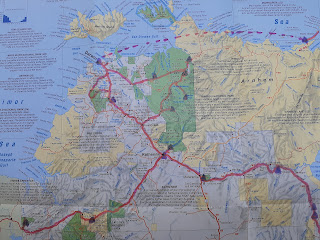
Wilpena to the Yorke Peninsula, Adelaide, along the coast via The Coorong and The Great Ocean Road to Melbourne.


We headed southwards from the Flinders Ranges through increasingly vegetated land and into the Yorke Peninsula. We stayed a couple of nights, one on the west coast and then on the east. Most of the peninsula is miles and miles of deadly boring barley fields but the coastlines are amazing. Super-long beaches and occasional rocky headlands. Our second campsite had a very sociable evening Happy Hour where we mingled with a couple of dozen Grey Nomads over beer and sausages.


We then headed into Adelaide. Due entirely to chance rather than planning, it was a long weekend that coincided with the Adelaide Festival / Adelaide Fringe and WOMADelaide. All the campgrounds were booked out so we ended up in an AirBnb instead of a caravan park and enjoyed normal beds for the first time in a month.

When we realised what was on we bought last-minute tickets to the Midnight Oil, The Tesksy Brothers and Siberian Tiger concert - it was amazing and Adam was sooo excited to see MO. They were performing as part of a Covid-friendly WOMADelaide. Ie, concerts rather than the normal multi-stage music festival. (It was frustrating because I've wanted to go to WOMAD for years, but on the other hand it was great just to be an almost-normal concert again!) We also did other Adelaide touristy things, including visiting Hahndorf. (Which is kind of like a large Leura or up-market Berry with a German theme and old stone buildings. And good coffee)


This is what a surf patrol looks like in this part of the world - rescue boarders are in waist-deep flat water.

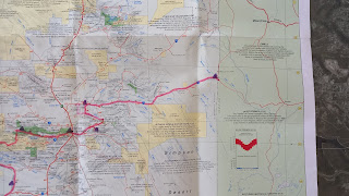
East of Adelaide we headed down the Fleurieu Peninsula, along the Coorong, into Victoria and along the Great Ocean Road to Melbourne.
Near our campsite on the Fleurieu Peninsula.


The Coorong is a large (100km long) lake / lagoon system at the mouth of the Murray River. It's serene and peaceful with incredibly long beaches, and a lot of pelicans. This is looking west (obviously) - the ocean is across the water and over the sand dunes.


Helen decided we should drive along one of the ocean beaches but the beach was fairly steep and she freaked out due to the angle that the landy was tilting (not helped by my admitted lack of knowledge about its tipping point with the camper on). A quick swim for Adam and then back onto solid ground. The next day we did some slightly more sedate driving through the middle of some rocky sand-dunes on what was advertised at a 2wd track but needed low-range 4wd to get through! (Helen says it was my birthday treat: I got to go 4WDing in the rain and a trip to Victoria. And a beer to wrap it up).


And then onto my sisters's place in Melbourne...

Comments
Post a Comment